3/7/17-3/11/17
Current Location: BLM campsite Virgin, Utah
After showering at our hotel in West Yellowstone we walked across the parking lot for dinner at the Slippery Otter. We sampled the local brews and had a delicious dinner. Walking out of the hotel room in the morning we quickly were happy we chose the hotel room over the RV site- it was a blue bird day, but the temperatures were quite chilly at about 8 degrees.
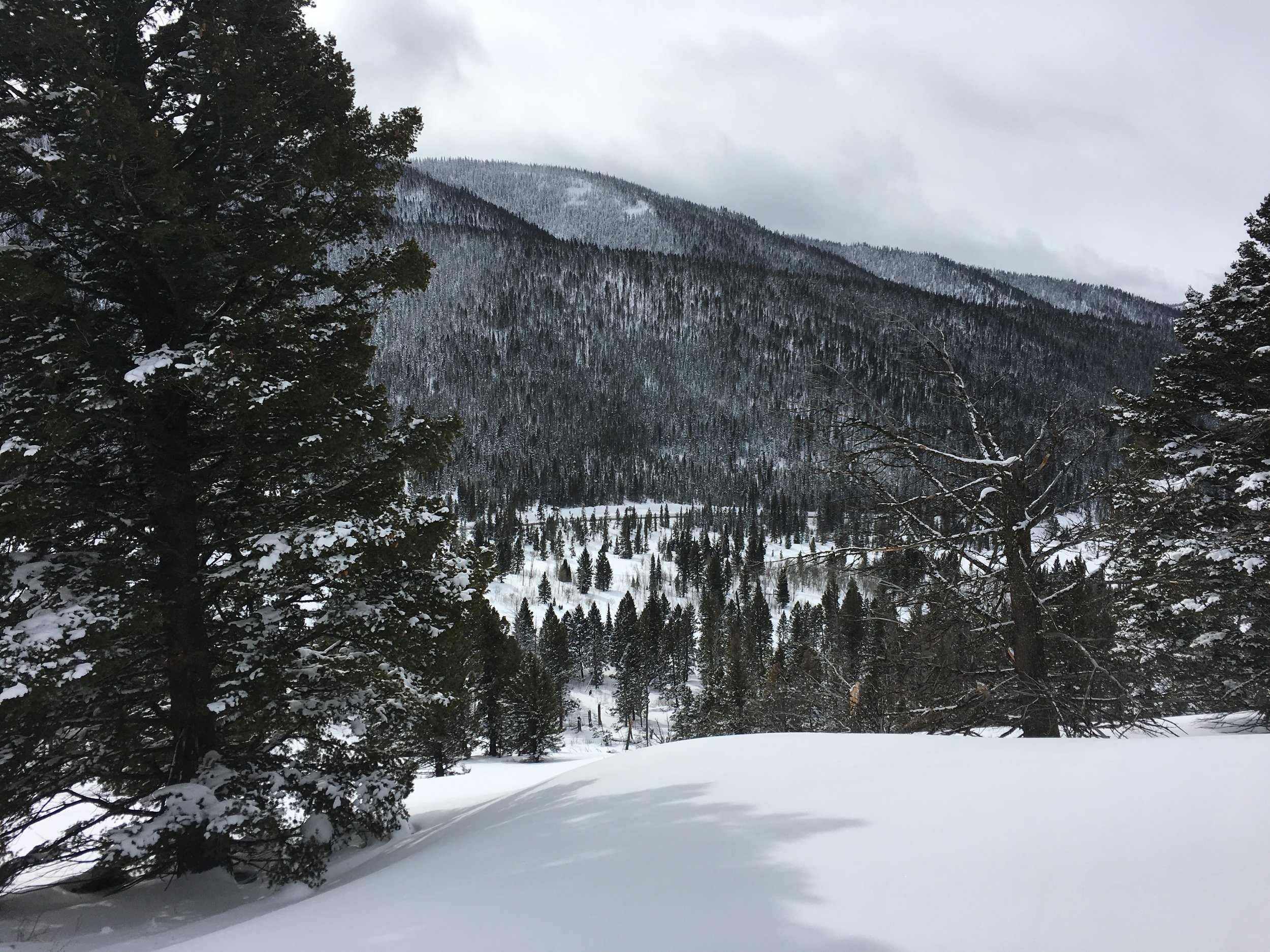

Driving west/south towards Salt Lake City, we passed through Idaho. Subconsciously we were both checking out the terrain along the road. We decided to pull into a lot along the road and get out for a quick ski lap (and to check off Idaho of the run/bike/hike/ski list). We thought we'd get a run in later in the day but the fresh, white blanket was too enticing. A quick skin up a slope a few hundred yards from the highway and some fun turns down. We weren’t out long, but it sure was fun! I think Rooney was happy to romp around in the snow too.


We pulled onto Antelope Island in the Great Salt Lake and set up in the otherwise empty campsite. After a leisurely start in the morning, we headed up to Solitude Mountain. There was also no one skiing here. We could get used to empty campsites and empty ski areas! Just 2 days prior we were skiing powder. Here the snow was full on spring conditions and made for a very fun, very tiring day.


On our way back to Antelope Island for a second night, we stopped at Rooster Brewing Company to catch the Patriot League Championship. Unfortunately Lehigh did not make it to the Dance this year. We actually had 2-3 other people camping in the campground this day and the evening was calm and quiet.


The next morning, as we were getting ready to go for a run around the island a bison wandered down the hill about 200 yards from our camp, and decided to take a nap on the trail we were planning on running. Bushwhacking through the sage brush, giving a wide berth, we passed the bison with no problem. The trail meandered through some boulders and along the mudflats of the lake. As we neared the opposite trailhead, we had another detour around a small group of bison. They too did not care that we were there. The plan was to meet back up with the road and take it back to camp. Overlooking the route, we noticed the road divides a larger herd of bison. With no way around them, we cut across the prairie back to camp.

Stretching/trip planning/bison watching at camp we learned the last day to drive yourself through Zion National Park was the next day (there is a shuttle bus system for the rest of the spring, summer and fall). Rearranging some of our thoughts, we decided to head to Zion. We jumped on I-15 south for a couple hundred miles and felt the air warming drastically compared to the single digit skiing only a couple days prior.
We pulled into camp in Kanarraville, within striking distance of Zion. After dinner and a shower, we packed for an early morning departure to the park. The alarm went off at 5 am, and we left soon after. We arrived at Zion about an hour later to a mostly empty parking area at the Angels Landing trailhead. The air was cool and was a bit breezy. Hiking up the first bit of trail quickly warmed us up. The trail is paved (term used lightly) and climbs rapidly along a seemingly vertical face of rock. It eases but the trail then goes through at least a dozen short switchbacks.


As we gained the saddle, the wind which had died down started to pick back up a little bit. Looking uphill to the trail that was to come, I began to feel the nerves I hoped wouldn’t show themselves. Passing the warning signs of the hazardous trail ahead, we took our first steps onto the sandstone ledges, using the chains for handholds. As the trail continued and became more “spicy”, my eyes became more and more focused on the trail directly at my feet. I could see the land start to slope away to the canyon floor below, but I definitely was not going to look around and take in the views. We gained the summit ridge as a few small groups were heading down. With more land under my feet, I was much more comfortable to look around and have real smiles in pictures.


The way down the mountain was much easier for me. I was able to look around and appreciate the mountains, cliffs and valley below. Our early morning departure paid off- we had the summit to ourselves, and we didn’t have to pass a conga-line of people on the chain section.
Eric was an awesome cheerleader- giving me compliments as I passed some very exposed areas of trail, without going overboard. He even put up with my serious, please stop talking to me face.

The quiet, mostly empty parking lot we left in the morning was a gong-show as we returned. Cars were parked anywhere and everywhere it was slightly possible to park. I can easily see why there is a shuttle system in place. Some snacks and a drive through the rest of the park and we called it a day in Zion. As we headed out of the park, we stopped at Zion Canyon Brewing Company for a beer and some wings before setting up camp in the BLM land above Springdale.

Our camp site may have been the only area that was close to that half mile off the main dirt road requirement. The Smithsonian Scenic Backroad has seen a lot of use and they now require any camping to be at least a half mile off the actual 'road'. We didn’t hear or see anyone else camped up there. We sat atop some large rocks overlooking the surrounding desert, ate dinner and turned in. In the morning we split up for about 45 minutes- I ran with Rooney and Eric bouldered not far from where we slept. The road down from camp was much smoother than the way up.
As we pulled into the doggie day care in Hurricane, Rooney became very excited, forgetting how tired he was from the run only about an hour and a half ago. We dropped him off for his vacation from us, and continued back up to Kanarraville to hike the Kanarraville Falls. The hike takes you straight up the river bed to a waterfall about a mile and a half in. As you got closer to the waterfall, the walls of the canyon closed in closer. The sound of the water increased and the walls were separated by only about 10 feet apart and towered hundreds of feet above us. The water, a constant 40 degrees, began to feel much colder. We climbed above the falls via a log with a ladder attached, and gazed up in awe of the pink sandstone.


The swirls of the sandstone walls were quite beautiful. The river takes curves every few feet it seems like and the rock has been smoothed from its victor, the river. The river bed was all stone and we scrambled around some trail, river and makeshift work arounds.
Home for the night is on the BLM land above Virgin, UT. An easy dirt road in about 5 miles and some more obscure double track roads have led us to the middle of the massive desert area within view of only a few other campers but still at least 1/4-1/2 mile away. We made dinner as the sun set, lighting up the sky with bright oranges and reds above Zion.


-L